Cherry Hills Village's Bridle Trails Are Legally "Parks." In Practice, They're a Standing Negotiation
August 13, 2026
August 13, 2026
By ordinance, Cherry Hills Village doesn't have parks. What it has instead is a scattering of easements across private lots that the municipal code decided decades ago to call parks, so the city could legally spend mill-levy money maintaining them. That's not a technicality. It's the whole reason the roughly 15 miles of bridle trail threading through the village exist at all, and it's the reason those trails are still being actively rewritten right now, in 2026, at Parks, Trails and Recreation Commission meetings most residents never attend.
If you ride here, or you just walk your kids to school along one of these paths, you're living inside a negotiation that started when a handful of residents first mapped these easements and never actually ended. The names and the flashpoints have changed. The underlying argument, over who gets to use a strip of land that crosses someone else's property, hasn't.
When Cherry Hills Village incorporated, the plan for bridle paths existed only as easements on paper. For years there was so much open country that nobody needed a formal trail, so the easements sat dormant. Then development started catching up, and property owners began doing what you'd expect with an unused right-of-way: they planted trees on it, put up fences, treated it as their own.
Two residents, Al Saterdal and Ed Wasson, decided that was a problem worth solving before it solved itself. They organized fellow horse owners to track down where the original easements actually ran, a task that meant knocking on doors and asking owners to clear shrubs and take down fences they'd already built. Out of that effort came the Cherry Hills Park & Trail Association, formed specifically to secure, clear, and maintain a connected trail system for pedestrians, horses, and bicycles.
The village backed the effort with real infrastructure. Once an easement was cleared, it got fenced, either by the property owner at their own expense or by the village using woven wire and wood posts paid for out of the mill levy fund. The fencing served three purposes: keeping horses off lawns, keeping cars and trucks off the paths, and keeping owners from quietly reclaiming the easement later. Motorized vehicles were banned from the bridle paths by ordinance from the start. The trails themselves were built about 16 feet wide, wide enough for a horse and rider to pass comfortably and wide enough for a city truck to get through for maintenance.
None of this worked without the city agreeing to treat these easements as public infrastructure worth taxpayer money. That's where the "parks" designation comes in. As Mayor Guy Williams Jr. put it at the time, the village had to indemnify property owners from liability before it could ask for an easement, and the only way to do that legally was to fold the trails into the same public liability insurance that already covered the police department and street equipment. Calling the bridle trails "parks" wasn't sentimental. It was the mechanism that let the city spend real money keeping a network of private-adjacent paths open to everyone.
Generations later, the negotiation is still live, and it's playing out over a section of trail near the Buell neighborhood. At a 2024 Parks, Trails and Recreation Commission meeting, resident Gwen Kuklo raised concerns about a proposal to install gates on that stretch of bridle trail. Her worry wasn't abstract: kids use that path to walk to school, and if a gate malfunctions and locks them out, there's a phone number posted on it that assumes someone will answer.
Kuklo also brought data to the meeting. She cited a 42-day study the Cherry Hills Village Police Department had already run on that section, using extra patrol, cameras, drones, and e-bikes to monitor activity. The result was one person spotted after hours and no criminal activity reported. She noted that in the past 25 years, the area had seen exactly one break-in, at 5 p.m., involving someone who jumped a property fence rather than using the trail at all. Her argument, in effect, was the same one Saterdal and Wasson were making in reverse decades earlier: don't let a solution to a problem that isn't really happening cut off access that people depend on every day.
The public record from that meeting doesn't show a final resolution. What it shows is a city still working out, trail segment by trail segment, how much control a shared easement gives the people who live along it, exactly the tension the original Park & Trail Association was built to manage.
The decades-old ban on motorized vehicles was written for a world of cars and motorcycles, not battery-assisted bicycles that can share a path built for horses. That gap is why "EBikes" and "Park Signage" both landed on the Parks, Trails and Recreation Commission's 2026 work plan, a decision made at the commission's May 2025 meeting. The commission isn't debating whether to build something new. It's deciding, in plain terms, whether a rule written generations ago covers the fastest-growing thing on the trail today.
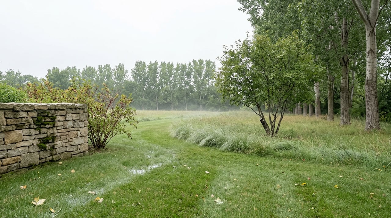
Not every fix on this network is a policy question. Commissioners have also had to deal with a known wet spot on one section of bridle trail, a stretch shaded on both sides that tends to turn to mud. The obvious solution on a regular multi-use path would be to resurface it. That's not an option here. Because it's part of the natural bridle trail system, city staff determined that adding a hard surface like crusher fine wasn't realistic, since it would simply wash away. The plan instead was to grade the worst ruts and leave the trail as dirt, a maintenance decision that only makes sense once you remember these paths were never meant to be paved. Every fix has to work for a horse's footing first.
The two anchors of the system are Three Pond Park, a 9.5-acre passive-use park with an equestrian jump course and a public art sculpture, and John Meade Park, which sits directly south of Cherry Hills Village Elementary and City Hall. John Meade's equestrian arena and jump course sit alongside fishing piers over its ponds, a boardwalk through the wetlands, and an amphitheater that hosts events through the warmer months. Both parks connect into the bridle path network that ultimately feeds the High Line Canal Trail, which continues well beyond the village line.
You don't need a horse to notice any of this changing. The new signage, once it goes up, will make the difference between a natural bridle trail and a paved multi-use path obvious at a glance, something the current network doesn't spell out clearly today. If you've ever guessed wrong about which fork to take near Meade Lane, that's the exact problem the 2026 map redesign is meant to solve.
What makes the Cherry Hills Village bridle trail system feel permanent is precisely what makes it fragile: it was never a comprehensive plan. It was a patchwork of easements that a few determined residents pieced together, backed by a legal fiction that let the city treat private-adjacent land as public park. That patchwork is still being adjusted today, one commission meeting at a time, by residents who show up to argue about gates, e-bikes, and a muddy stretch of shaded trail. If you live here and use these paths, you're not a bystander to that process. You're the reason it keeps working.
Questions about a specific property's relationship to the trail network, an easement, or a bridle path boundary come up more often than most buyers expect once they're looking seriously at homes in Cherry Hills Village. If that's where you are, Stephanie Watanabe would love to help you sort out what a particular lot actually includes. Let's Connect.
Stay up to date on the latest real estate trends.

Whether you're buying your first home, selling a longtime property, or exploring your next investment, Steph Watanabe is committed to making the process seamless and rewarding. With local market expertise, personalized guidance, and a client-first approach, Steph takes the time to understand your goals and provide honest advice every step of the way.

STEPH WATANABE
4643 S Ulster Street Suite 500 Denver, CO 80237